

In Maine, the land sells the house.
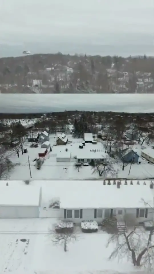
Aerial video shows what a buyer can’t see from the road. Turn on the layers to see what an edit can point out.
Example overlays. Boundaries in a real edit are drawn from the listing’s survey or tax map and marked approximate.

Video from the sky gives buyers a sense of the property lines and the recreation nearby. Book it on its own or add it to a photo package.
In Maine, the land is often half the listing: frontage, acreage, the trail behind the house, how far it is to the harbour. An edited aerial video shows all of it in under a minute.
Book it on its own or as an add-on to the Drone, Exterior + Interior package.
What you get
- Edited aerial video of the home and land
- Shows lot lines, frontage and surroundings
- Music-edited, ready for MLS and social
- On its own or added to a photo shoot